Because the Nomad Three-Day route covers about 150 miles, expect to see a lot of different terrain and route conditions. Here are some details.
Terrain
These percentages are estimates. Remember that one rider's technical trail is another rider's flowy trail. Perception is reality and we all live in different realities. You can read about our tire recommendations.
- Good pavement: 45%. The roads bring us through just about everything from small town centers -- for supply replenishment -- to remote quiet roads without a car for miles.
- Terrible pavement -- read 'fun': 10%. OBC tends to search out some of the worst broken pavement roads, in part because there's hardly ever any traffic on them and it gives us a comforting feeling that nature is taking back whats hers.
- Dirt roads -- mostly fire roads and access roads: 7%. Some really fun trails that we've scoped out for the Nomad. Quiet, fast, and always fun.
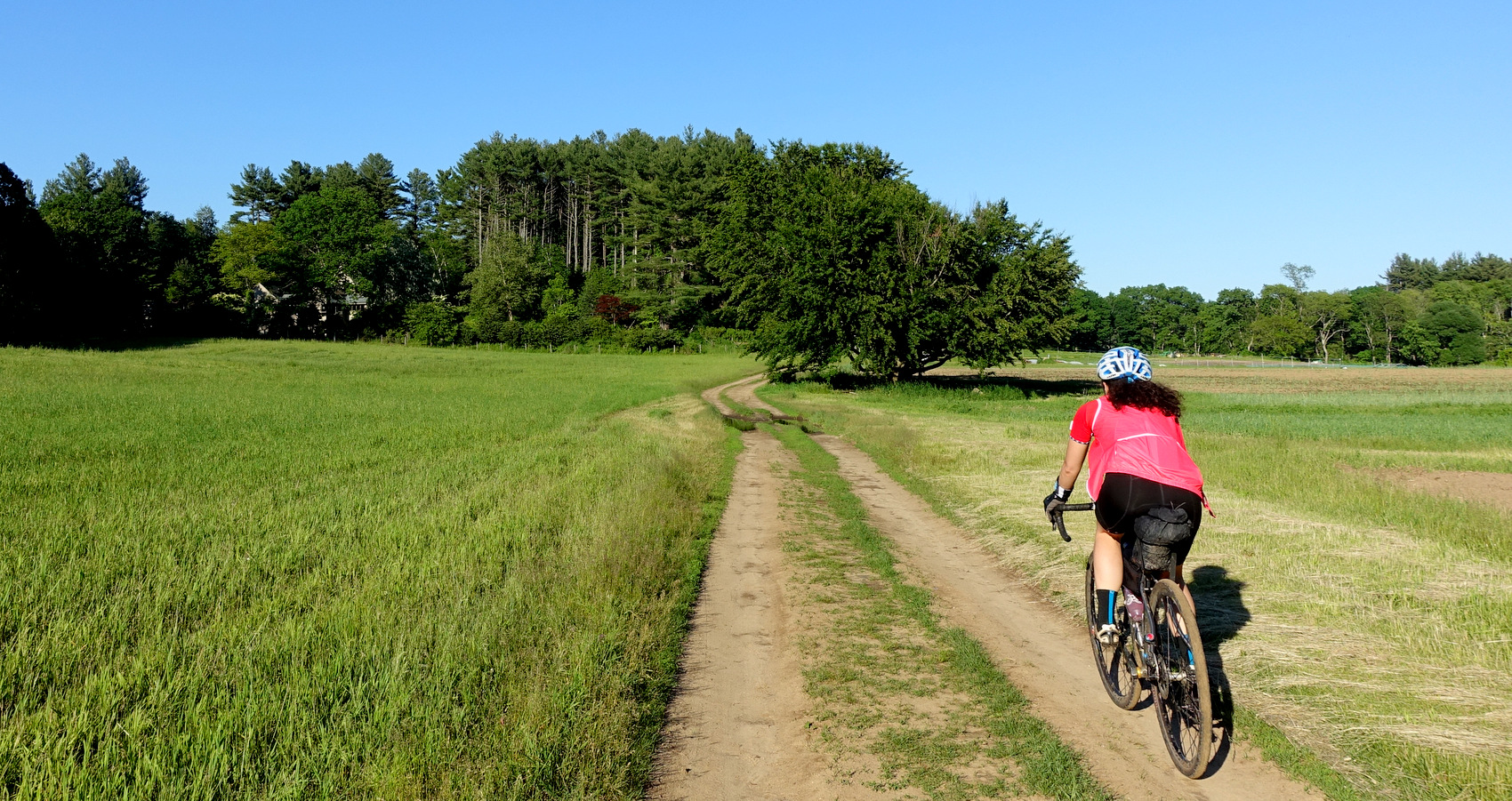
- Doubletrack and abandoned dirt trails: 10%. Doubletrack is a mix between access road and singletrack. Keep your wits about you and don't ride on the grassy centeridge. What looks bucolic can often be tricky terrain with hidden dangers in the grass.
- Singletrack flowy: 25%. We work to find as much of this kind of riding as we can. It's not too technical but it will be more 'interesting' than expected when your bike is loaded for bikepacking.
- Singletrack technical or primitive -- rocky and rooty: 3%. While OBC enjoys this kind of trail on a mixed-terrain bike, these sectors can be tricky on a loaded bikepacking rig. So, we've minimized these sectors. Often, the reason we'll include a short moment of technical riding is because once you get through that, the next sector will have made the technical section well worth it.
- Hike-a-bike sections and dangerous technical descents: 0.1%. We work hard to eliminate these areas. However, once or twice in a 150 mile ride, it can be difficult to avoid 100%. Rest assured, if there is a hike-a-bike section, it will be followed with -- or prior to -- a fantastic sector of riding. Be extra careful in these parts -- this is not a race.

This image shows the most technical moment of the entire ride. Do not be intimidated by this photo!
Elevation
This isn't a very climby ride; eastern Massachusetts is relatively flat. The route has about 65 feet per mile of climbing; this isn't very much. There are definitely no sustained climbs. The climbing in this part of the Massachusetts is generally short rolling hills. The worst of the climbing is a few short punchy climbs. Read our gearing recommendations.
Overall this route provides riders with an excellent cross section of eastern Massachusetts terrain, roads, and trails. Bikepacking and camping add to the adventure. We hope you'll join us!